❓WHAT HAPPENED: A massive winter storm is set to impact more than 230 million Americans, bringing heavy snow, ice, and freezing conditions across multiple states.
👤WHO WAS INVOLVED: National Weather Service (NWS) forecasters, state governors, energy experts, and federal officials, including U.S. Energy Secretary Chris Wright and President Donald J. Trump.
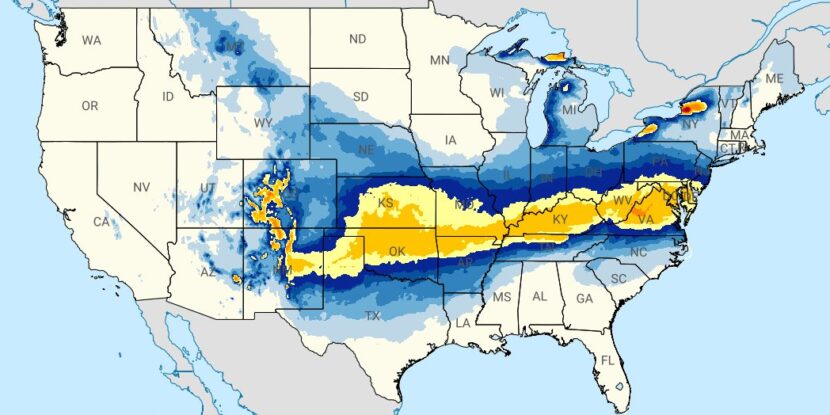
📍WHEN & WHERE: The storm is expected to stretch from New Mexico to Virginia on Saturday, moving into the Northeast by Sunday, with states like Texas, Kentucky, and New York under emergency declarations.
💬KEY QUOTE: “Record Cold Wave expected to hit 40 States. Rarely seen anything like it before. Could the Environmental Insurrectionists please explain — WHATEVER HAPPENED TO GLOBAL WARMING???” — President Donald J. Trump
🎯IMPACT: Thousands of flights have been canceled, schools in major cities are closed, and panic buying has left store shelves empty as Americans prepare for the storm.
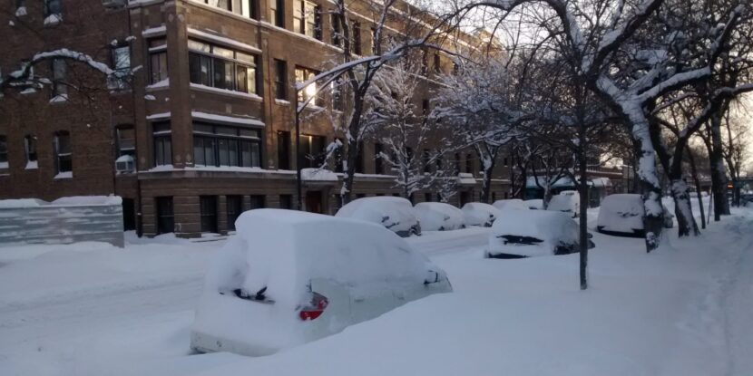
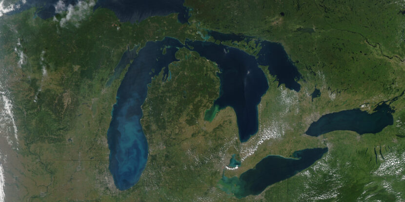
A severe and sprawling winter storm is set to blanket much of the United States in snow and ice over the weekend, likely impacting upwards of 230 million Americans. The National Weather Service (NWS) predicts the storm will stretch from New Mexico to Virginia on Saturday before moving into the Northeast by Sunday. States across the country have issued disaster or emergency declarations in preparation for the dangerous conditions.
The storm is expected to be accompanied by unusually severe cold, with most of the northern half of the United States being plunged into sub-zero temperatures. “Record Cold Wave expected to hit 40 States,” President Donald J. Trump wrote in a post on Truth Social on Friday. “Rarely seen anything like it before. Could the Environmental Insurrectionists please explain — WHATEVER HAPPENED TO GLOBAL WARMING???”
Energy experts have cautioned that the sustained cold temperatures could lead to widespread power outages. U.S. Energy Secretary Chris Wright emphasized that federal authorities are working to ensure backup generators are available at critical facilities to prevent blackouts, stating, “We’re going to do everything we can to keep the lights on and to keep power prices down [during the storm].” However, with a band of the storm expected to produce significant ice and snow, millions of Americans could be left without electricity as power lines are brought down by falling trees or the weight of ice buildup.
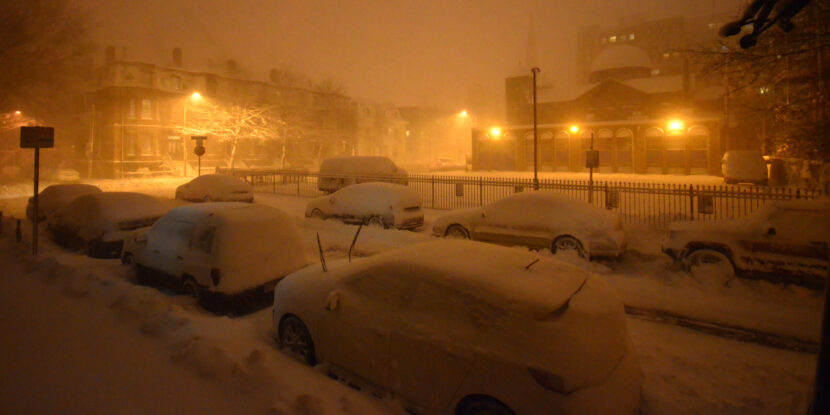
Notably, the storm is already causing significant disruptions, with over 1,200 flights canceled or delayed as of Friday morning, according to FlightAware. Airlines such as Delta, American, JetBlue, and Southwest have warned passengers to expect further cancellations as the storm progresses. Chicago Public Schools canceled classes on Friday due to extreme cold, while New York Governor Kathy Hochul (D) declared a state of emergency, warning of “some of the most dangerous cold we’ve seen in years.”
In Texas, where temperatures are expected to drop into the 10s, the state’s vulnerable power grid is once again under scrutiny.
Join Pulse+ to comment below, and receive exclusive e-mail analyses.


.jpg)