❓WHAT HAPPENED: An earthquake struck off Aomori Prefecture, Japan, prompting the Japan Meteorological Agency to issue its first-ever “megaquake” advisory.
👤WHO WAS INVOLVED: Japanese authorities, including the Meteorological Agency, municipalities, and residents across seven prefectures.
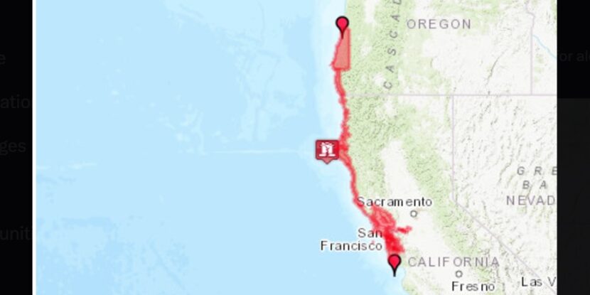
📍WHEN & WHERE: The initial earthquake occurred on Monday, December 9, 2025, off the eastern shore of Aomori Prefecture, with several aftershocks, including a magnitude-5.7 quake on Wednesday. The megaquake advisory remains in effect until December 16.
💬KEY QUOTE: “Based on the instruction from the prime minister, we are mobilising all resources for assessing the damage, conducting search-and-rescue operations and implementing emergency disaster relief measures under the policy of prioritising human life.” – Minoru Kihara, Chief Cabinet Secretary
🎯IMPACT: 51 people were injured, with seven suffering severe injuries. Authorities are urging preparedness, with no significant infrastructure damage reported.
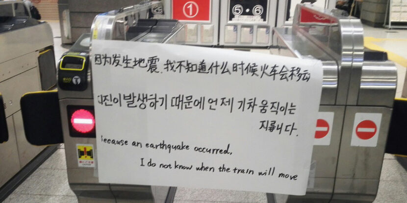
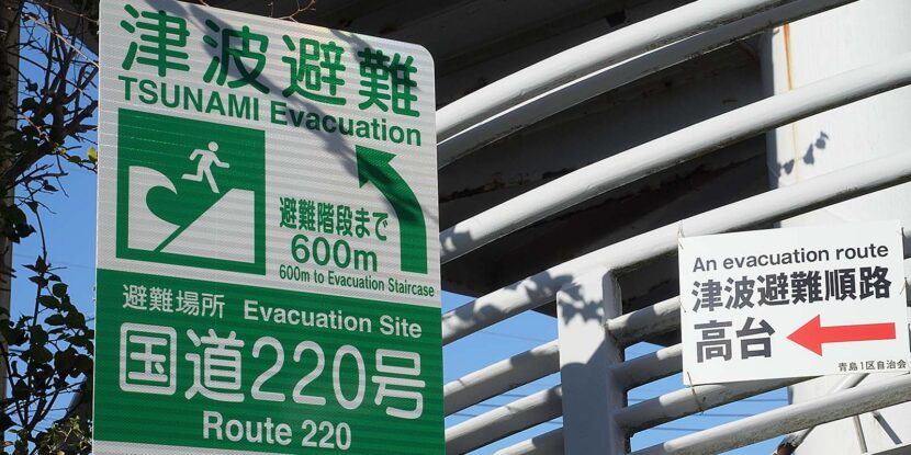
Japan has been struck by a new 5.7-magnitude earthquake just days after the country was rocked by a magnitude-7.5 earthquake that struck off the coast of Aomori Prefecture. The larger quake, occurring on Monday, prompted Japan’s Meteorological Agency to issue its first-ever special advisory warning of the potential for a “megaquake” registering a magnitude eight or higher—along with tsunami risks along its coastline. Notably, the advisory remains in effect until December 16.
According to Japan‘s Chief Cabinet Secretary Minoru Kihara, Monday’s quake resulted in injuries for 51 people, with an additional seven sustaining severe injuries. He stated, “Based on the instruction from the prime minister, we are mobilizing all resources for assessing the damage, conducting search-and-rescue operations, and implementing emergency disaster relief measures under the policy of prioritizing human life.”
Approximately 800 homes lost power, and Shinkansen bullet trains were suspended in parts of the region. Power was mostly restored by Tuesday morning, according to Tohoku Electric Power Co. About 480 residents sought shelter at Hachinohe Air Base, and 18 defense helicopters were deployed for damage assessment. Some 200 passengers were stranded overnight at New Chitose Airport in Hokkaido due to structural damage in a terminal building. The Nuclear Regulation Authority reported a 450-liter water spill at the Rokkasho fuel reprocessing plant, but confirmed that no safety concerns were raised.
Municipalities across seven prefectures—including Hokkaido, Aomori, Iwate, Miyagi, Fukushima, Ibaraki, and Chiba—have ramped up emergency preparedness. Measures include checking relief supplies, testing communication systems, and urging residents to prepare emergency kits and stay vigilant. Authorities also recommend sleeping in day clothes and in the same room as vulnerable family members to ensure swift evacuation if necessary.
It remains unclear how much damage was caused by the latest, albeit weaker, earthquake—or if there were any fatalities.
Join Pulse+ to comment below, and receive exclusive e-mail analyses.
